
Banburyshire Rambles Photo-Journal
Paul Mobbs’ photographic record of his walks around ‘Banburyshire’ and ‘The Irondowns’, and occasionally, as part of his work around Britain, the areas beyond.
![]()

‘Last Chance (HS)To See’ index
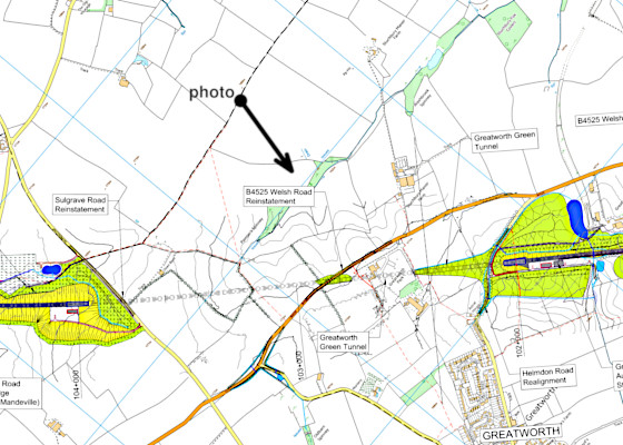
View Ordnance Survey map for this site
View HS2 route map for this site
‘Last Chance (HS)To See’ – Scene 33:
‘Sulgrave Hill’
From the hilltop above Sulgrave I look towards the former RAF Greatworth site, where HS2 crosses the valley and into the Greatworth ‘green tunnel’
11th April 2019
© 2018-2021 Paul Mobbs; released under the  Creative Commons license.
Updated February 2021.
From the ancient crossroads where ‘Banbury Lane’ crosses ‘The Portway’, rather than turn and head back into town, I carry on down the watershed ridge and on towards Halse and Brackley – crossing Sulgrave Hill. It’s an old landscape here, still retaining many of its hedges despite the encroachment of arable agriculture. A scene which would have changed little since the (very early) inclosure of the land here a couple of centuries ago.
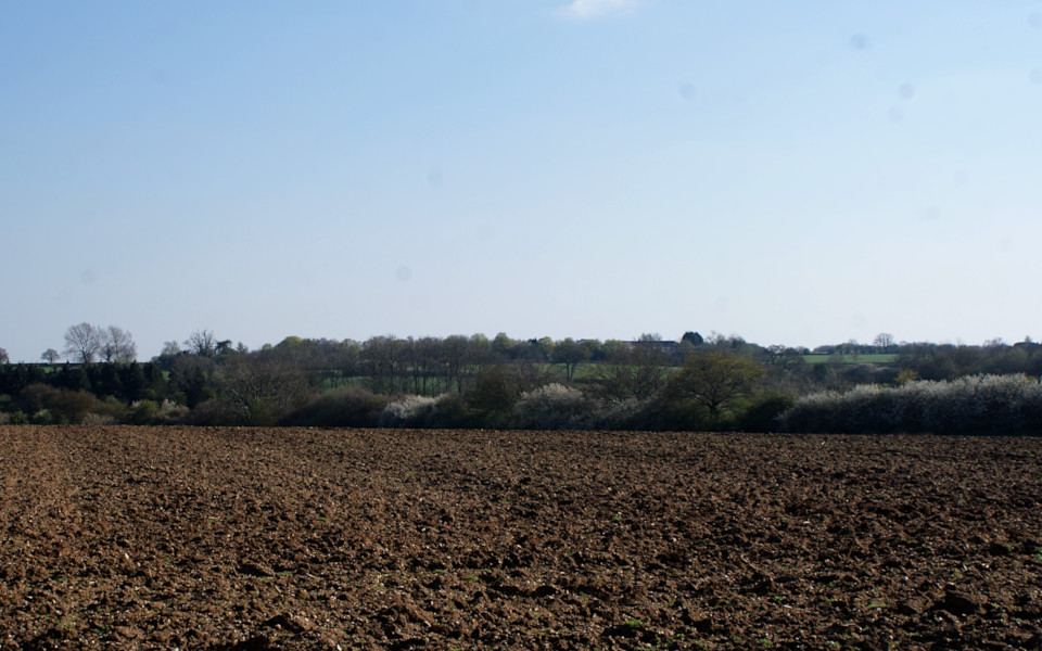
To the west the land drains via the River Cherwell to the Thames estuary; to the east everything drains via the River Tove and the Great Ouse to The Wash. Likewise, here on this ridge the geology shifts too, from sandy ironstone to clayey limestone. Apart from the hiss of traffic on the rat-run between the M40 and the A43, all is quiet here – well, except for the cacophony of crows in the trees and songbirds in the thick boundary hedgerow.
Looking across one of the source of the River Tove towards where HS2 will cross buried within a cut-and-cover ‘green tunnel’, I'm wondering just how much this location will change. How much sound attenuation that cover will provide, and whether the passage of trains either side of that enclosure will have an impact here. Hopefully, not a lot; but we shall see.